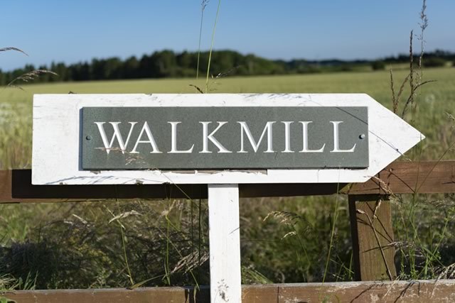
Getting to us
Please DO NOT use SATNAV to find Walkmill as you can end up at the wrong property on the wrong side of the River Coquet.DO NOT go down a track signposted Morwick Mill. This is not our property and cannot bring you to the Campsite. The nearest village to us is Guyzance (on the correct side of the river) and just a mile away from our Campsite.
Use postcode NE65 9AJ with Google Maps as SATNAV is not reliable. If travelling from Warkworth keep the Castle on your left. DO NOT go down Watershaugh Road (backroad shortcut) as this leads to a 'Ford' (not suitable for Caravans or Motorhomes at any time of year).
Directions from Warkworth
- On leaving Warkworth (heading towards Alnmouth) turn 1st left after the bridge.
- Follow the road for approximately 1 mile driving over a railway level crossing
- After the level crossing turn 1st left signposted Guyzance Brotherwick
- Drive past Brotherwick Farm on your right and drive along the country lane for another half mile
- Turn left signposted Coquet Moorhouse at the bend in the road (This is the 1st left turn after Brotherwick Farm)
- Drive up and over a small stone railway bridge and turn immediately right onto the farm track to Walkmill
- It is half a mile down the farm track to Walkmill (the house is not visible from the country lane). Please note that the gatepost at the bottom of the track does lift out to give wider access if required.
- If you miss the track entrance and end up at the river you have gone too far, please turnaround and drive back towards the railway bridge, turning left just before the bridge.
- At the top of Rotary Way A1068, turn left onto Morwick Road (the castle and cricket pitch will be on your right).
- Follow Morwick Road for approx 200m and turn right onto Watershaugh Road.
- Follow Watershaugh Road around to the left. The footpath to the bridge over the river is on the bend before the final descent to the river.
- Cut through the Static Caravan park and turn right onto the road.
- Follow the road up the hill and past the woods on your left.
- The entrance to Walkmill is on your left before you go over the railway bridge.
Content Copyright © 2021-2026 Walkmill Campsite. All Rights Reserved.